Call us at: 07920 705070
Friends of the Hurtwood, registered charity No. 200053, has the responsibility to raise the funding required to manage public access and protect the Hurtwood environment
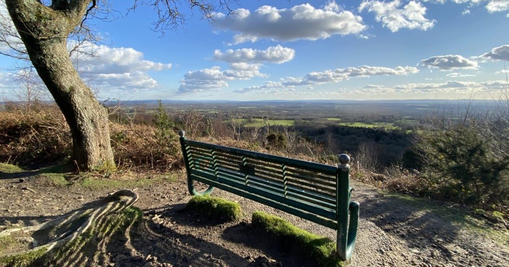
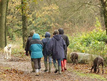
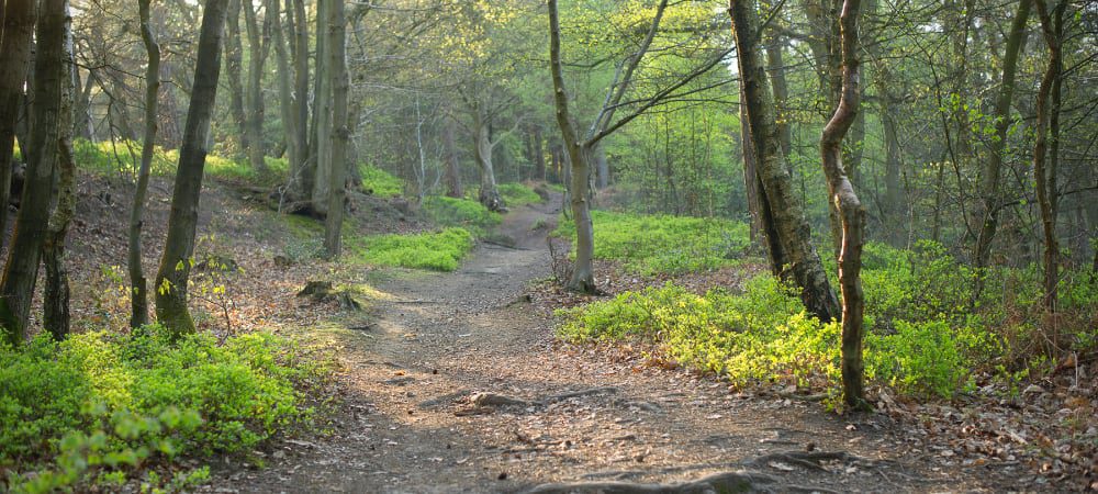
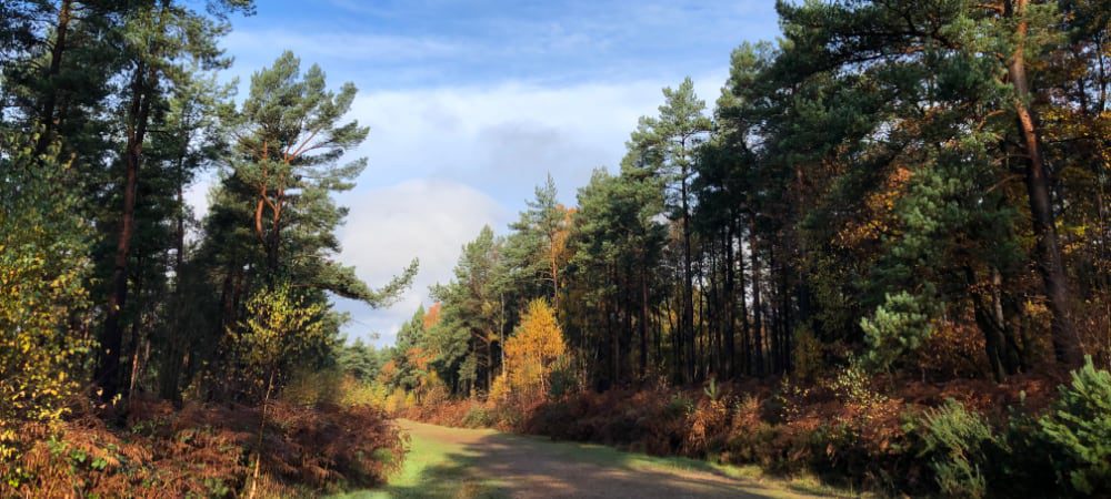
There are over 60 miles of paths and bridleways and many more informal paths and tracks to explore. There are some steep paths more suitable for fitter walkers whilst there are plenty of less hilly areas if you wish to go for a more gentle stroll.
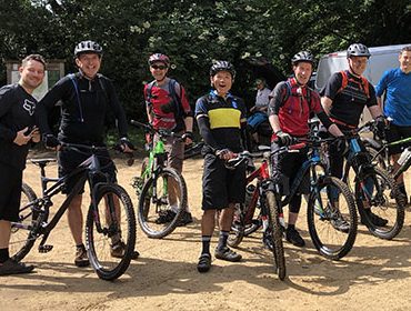
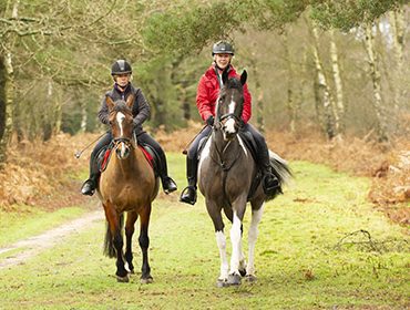
When riding please keep to the existing network of trails where possible, and avoid Mountain Bike trails. There are no height barriers in our car parks so Horseboxes are welcome in larger ones and where roads are suitable.
Friends of the Hurtwood is participating in two different ways and would welcome your attendance and support.
Please click the link below for further information.
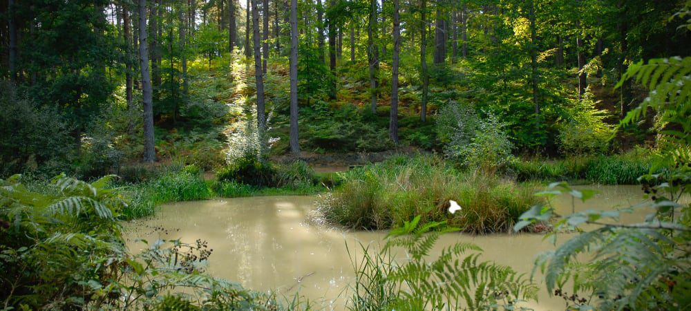
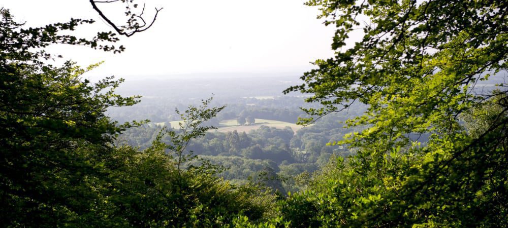
See fantastic photos of the Hurtwod landscapes, trees and plants. All images available for purchase directly from Peter.
| Cookie | Duration | Description |
|---|---|---|
| cookielawinfo-checkbox-analytics | 11 months | This cookie is set by GDPR Cookie Consent plugin. The cookie is used to store the user consent for the cookies in the category "Analytics". |
| cookielawinfo-checkbox-functional | 11 months | The cookie is set by GDPR cookie consent to record the user consent for the cookies in the category "Functional". |
| cookielawinfo-checkbox-necessary | 11 months | This cookie is set by GDPR Cookie Consent plugin. The cookies is used to store the user consent for the cookies in the category "Necessary". |
| cookielawinfo-checkbox-others | 11 months | This cookie is set by GDPR Cookie Consent plugin. The cookie is used to store the user consent for the cookies in the category "Other. |
| cookielawinfo-checkbox-performance | 11 months | This cookie is set by GDPR Cookie Consent plugin. The cookie is used to store the user consent for the cookies in the category "Performance". |
| viewed_cookie_policy | 11 months | The cookie is set by the GDPR Cookie Consent plugin and is used to store whether or not user has consented to the use of cookies. It does not store any personal data. |